
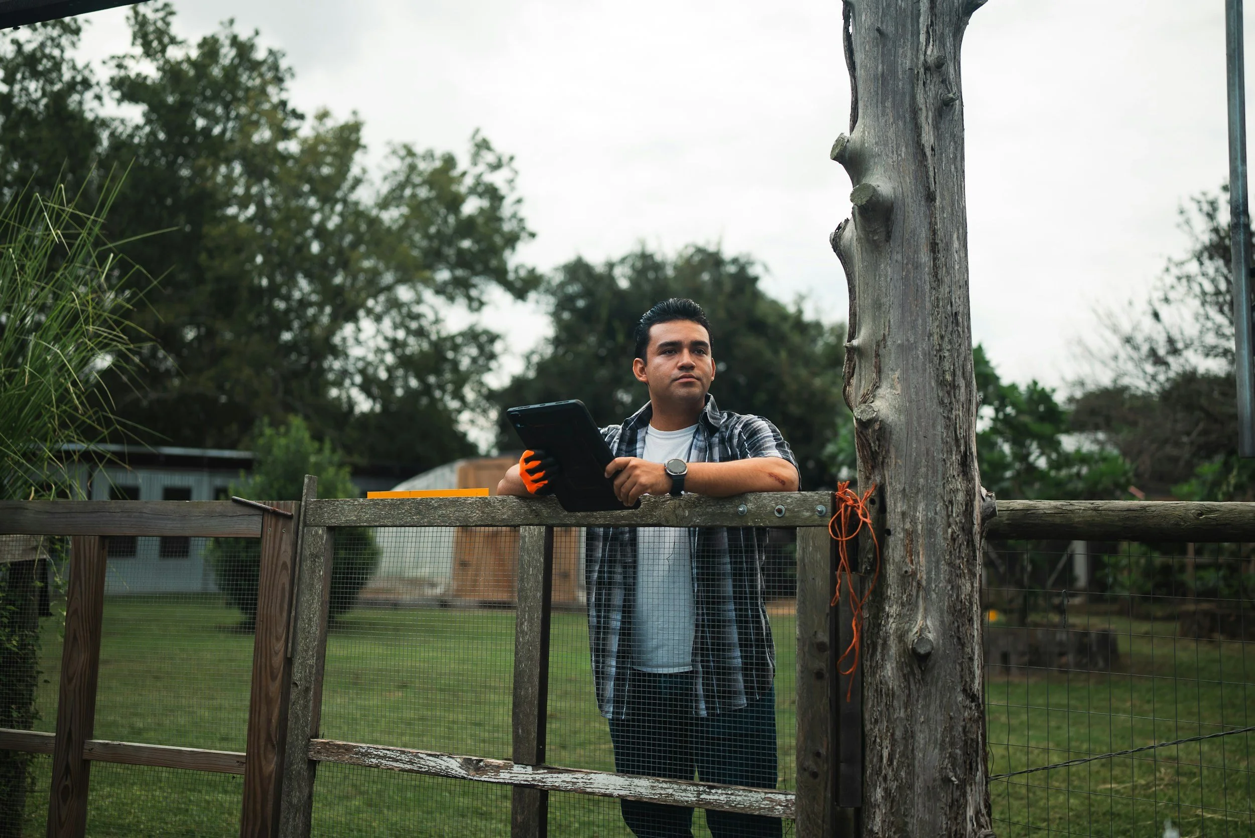
How Agrograph Handles Customer-Provided Ground Truth Data
Understand the relationship between available ground truth data and in-season crop yield prediction accuracy.

How to Use Satellite Data to Evaluate Developing Crop Insurance Markets
Satellite-derived field-level production data can lower the barrier to entering developing crop insurance markets.
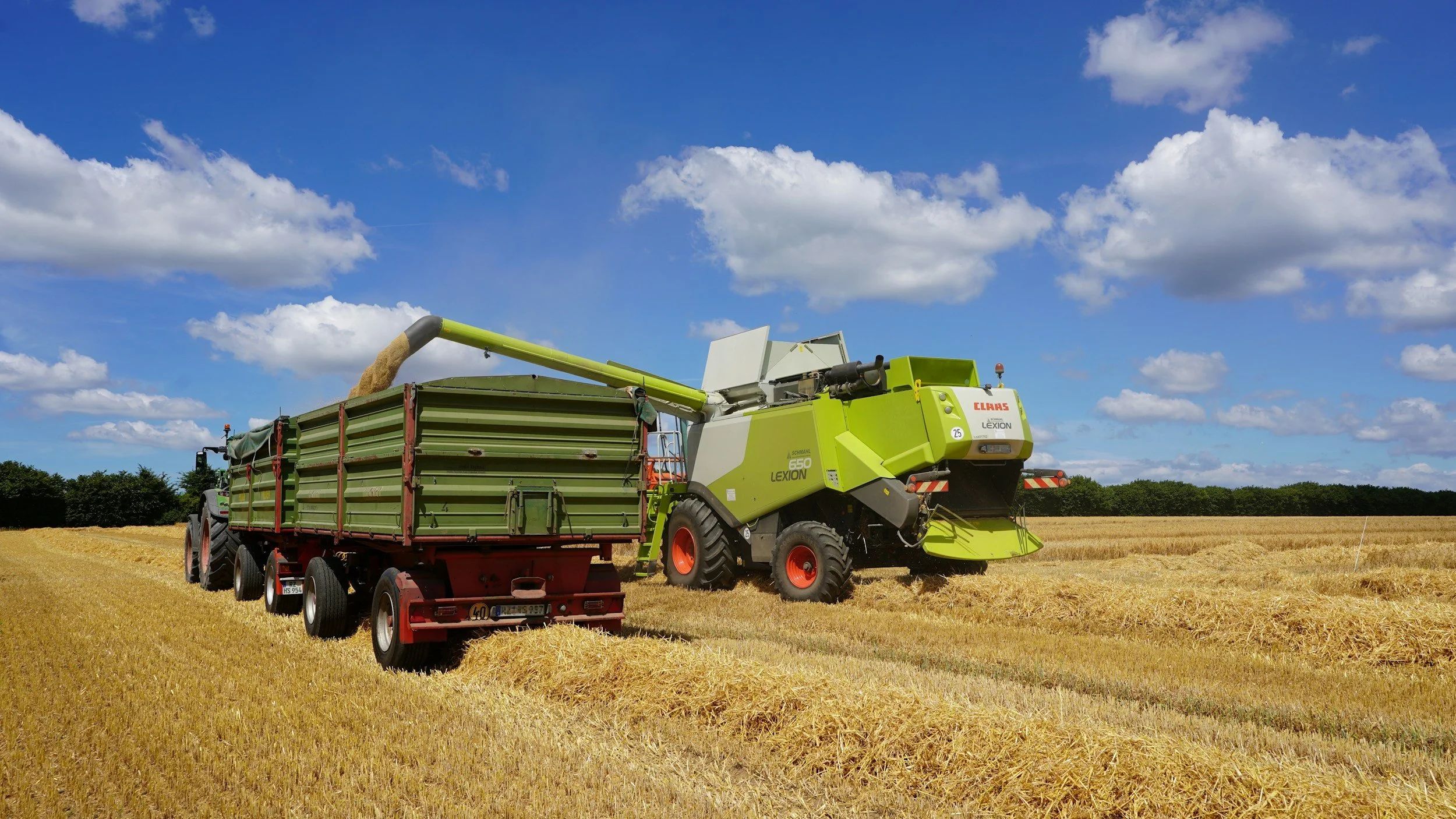
Satellite-Based Crop Intelligence Supports Crop Insurance Fraud Prevention
Crop insurance companies can reduce fraudulent claims payouts by using satellite-derived agricultural intelligence to verify claims with fewer field visits.
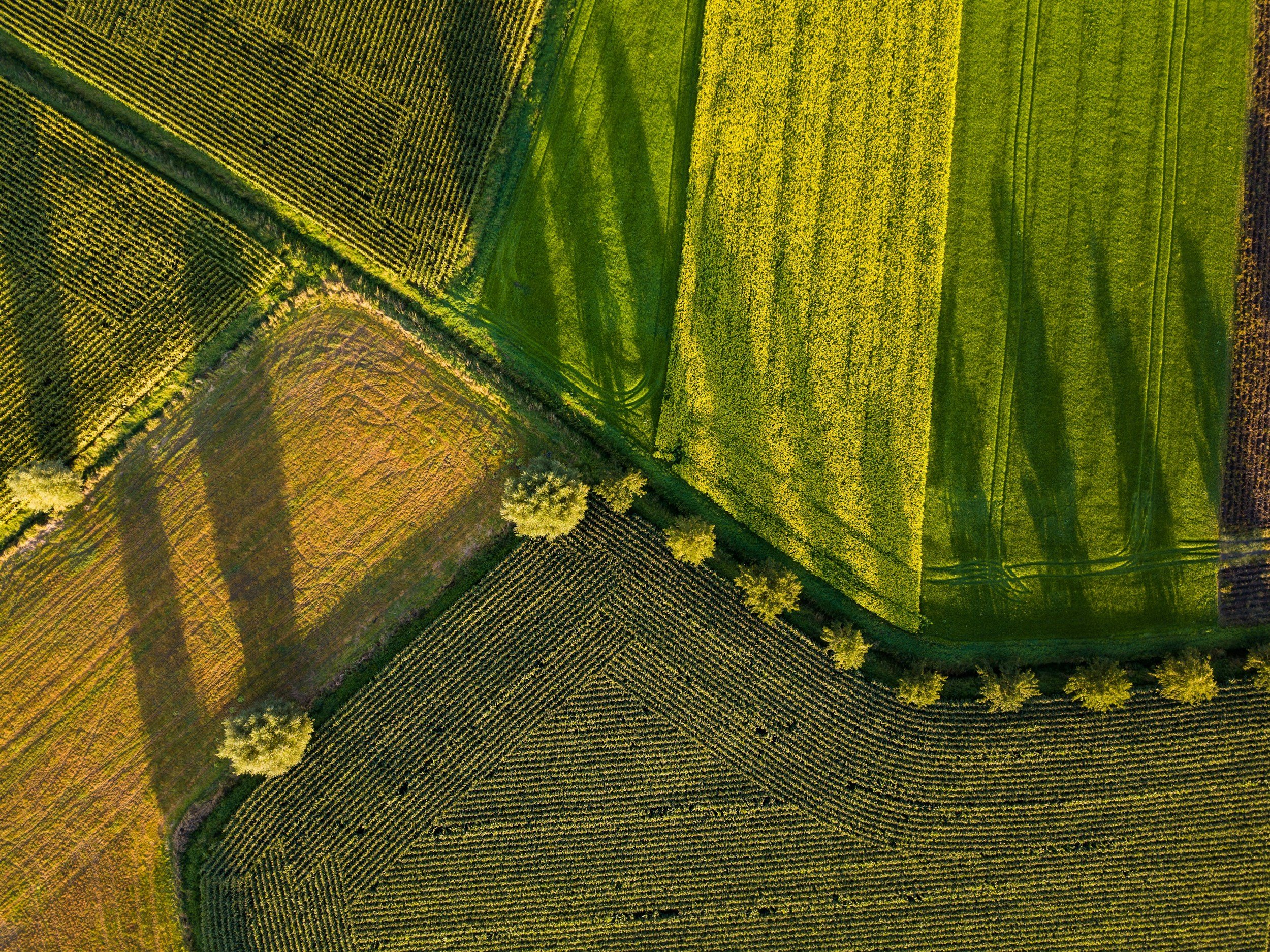
7 Agriculture Datasets Driving Better Understanding of Production Risk
Agricultural datasets tend to be geographically fragmented, poorly organized, and non-standardized. Turning them into reliable, granular insights for agricultural insurance providers takes both machine learning expertise and agronomic expertise.
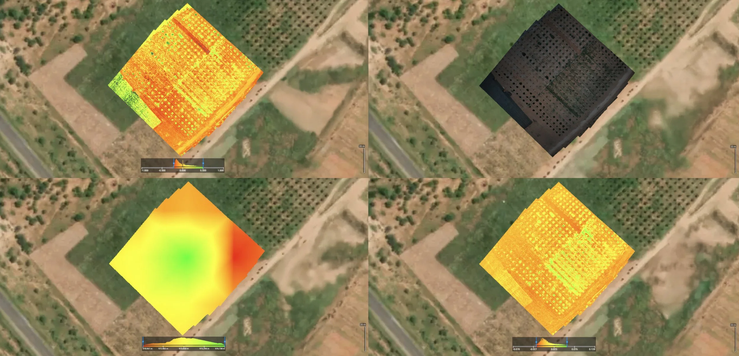
10 Applications of Remote Sensing in Agriculture
Learn how remote sensing is used in agriculture for crop yield prediction, crop health monitoring, damage assessment, soil analysis, and insurance applications.
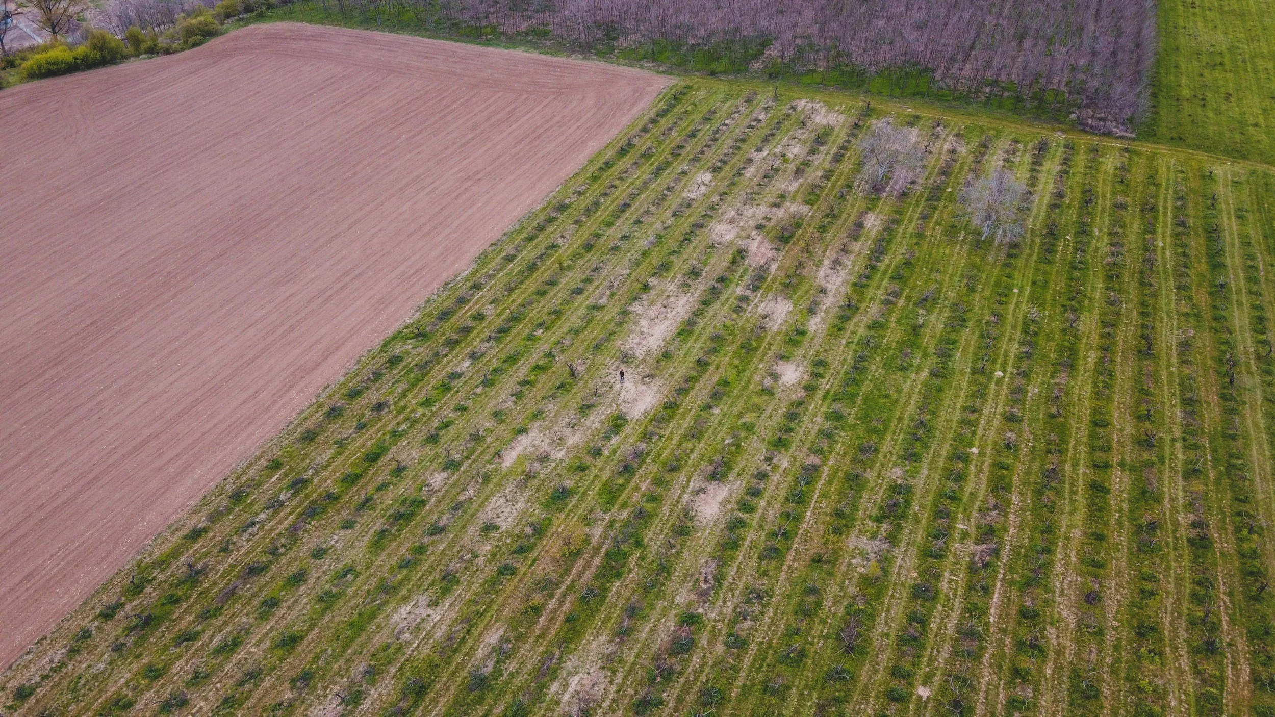
How Field-Level Yield Data Improves Crop Insurance Risk Modeling
Field-level yield data from satellite imagery and machine learning can overcome the biggest challenges in crop insurance risk modeling.

How to Improve Margins and Customer Retention with Satellite-Based Crop Damage Assessment
Satellite imagery can provide crop insurers an unbiased and efficient method for remotely assessing crop damage.

Satellite Crop Monitoring: How Agrograph Turns Images into Actionable Intelligence
Discover how Agrograph uses satellite imagery, time-series analysis, and machine learning to turn crop monitoring data into actionable agricultural intelligence.

How Agrograph and Symphony Grow Are Filling Federal Crop Insurance Coverage Gaps with Parametric Insurance
Learn how Agrograph and Symphony Grow are using geospatial data and parametric insurance to fill crop insurance coverage gaps and deliver faster payouts to farmers.


How Satellite Data Helps Verify Prevented Planting Insurance Claims
Satellite data can bring objectivity and speed to prevented planting insurance claims—including the "1 in 4" rule.

Precision Rice Yield Mapping: Bringing Research Excellence to the Delta
At Agrograph, we don't just map crops—we unlock field-level insights that transform agricultural decision-making. Our platform is built on decades of remote sensing research, translating cutting-edge academic expertise into practical solutions for one of agriculture's most challenging problems: accurate, field-scale yield estimation for rice.

Cracking the Code for Biologicals: Why Stress Mapping is the Key to Scaled Adoption
For all the energy surrounding biologicals and biostimulants, the industry is still searching for its breakthrough moment. The science is compelling: products that enhance water use, improve nutrient efficiency, and help crops perform under pressure should be a no-brainer in today’s farm economy. Yet adoption lags. Why? Because the problem isn’t just whether biologicals work—it’s knowing where and when they work best.

From Assumptions to Action: How Governments Are Using Agrograph to Improve Water Quality
State and local governments across the U.S. are under increasing pressure to reduce nutrient runoff and protect water quality. Excess nitrogen and phosphorus runoff from agriculture fields into waterways directly contributes to harmful algal blooms…

A New Chapter for Agrograph: Welcoming Taralinda Willis as CEO and Dale Willis as CTO
At Agrograph, we’ve always believed in the transformative power of data to revolutionize agriculture. From the beginning, our mission has been to harness satellite imagery and machine learning to deliver actionable insights that empower farmers, agribusinesses, and stakeholders. Today, I’m thrilled to announce the start of an exciting new chapter for Agrograph with the addition of Taralinda Willis as our new Chief Executive Officer and Dale Willis as our new Chief Technology Officer.

Agrograph Fills the Data Gap After NASS Discontinues Reporting
In recent news from the National Agricultural Statistics Service (NASS), a significant shift in reporting has stirred conversations across the agricultural industry. As of the 2024 production year, NASS has made the decision to discontinue all County Estimates Reports for Crops and Livestock, along with the Cotton Objective Yield Survey ¹. This decision has left many stakeholders wondering about the future of market transparency and reliable data access.

Agrograph Develops Scalable Middle East Crop Identification Model for USDA
Agrograph was awarded the Small Grains Planted Area Monitoring, Evaluation, and Estimates for the Middle East and North Africa Grant through the USDA - Foreign Agriculture Service (USDA-FAS). The goal of this grant is to produce timely, accurate, and practical small grain crop identification maps and derivative reports on planted areas estimates in the Middle East.

Agrograph Powers Industry-Leading Platforms and Initiatives
Agrograph solutions are informing leading climate-smart initiatives, governmental programs, industry software platforms and global advisory services worldwide.


Not All AgFintechs Are The Same
Banks are increasingly turning to fintechs to stay competitive, innovate and deliver enhanced services to their customers. But not all agfintechs are the same. The process of selecting the right partner can be a complex undertaking that requires careful consideration and strategic planning.