Agriculture Intelligence for your Hardest Questions
Access field-level data across crops, regions, and years—delivered through API and subscriptions that integrate with how you already work.
What you can do with Agrograph
-
Evaluate feasibility in regions you've never served
Design new insurance products for specific crops, regions, or risk profiles
Enter markets competitors can't assess — move quickly with data collection
Work with actuarial teams to set pricing and risk parameters with high quality data
-
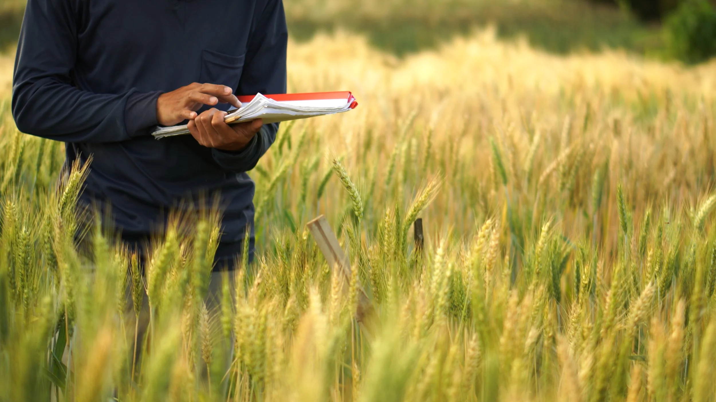
Independently validate production history without farmer-supplied records (hint: farmers don’t like reporting!)
Confirm sustainability practices and understand water quality impacts
Understand and quantify sustainable investment opportunities
-
Access yield predictions weeks before government releases
Understand portfolio concentration at field level, not county level
Spot opportunities in markets with incomplete public data
-
Provide best in class field level data inside your own platform to enhance your software
Eliminate data collection bottlenecks
Serve a significantly larger geography with the same team using Agrograph’s global capabilities
Data Capabilities
Historical Production Records
Multi-year crop history at individual field level
Planting and harvest patterns over time
Yield trends and variability analysis
Practice changes (crop rotation, cover crops, tillage)
Geographic Coverage
800M Hectares / 1.9B Acres mapped
Global coverage
All major row crops included - beyond just corn and soybeans
In Season Intelligence
Real-time crop identification
Growth stage monitoring
Yield forecasting during the growing season
Planting / Harvesting verification
Access Methods
RESTful API for real-time queries and GIS deliveries
Historical data archives
Custom data products for unique use cases
Data Quality & Methodology

Our Approach
Multiple data source validation
Ground-truth verification in key markets
Continuous quality monitoring
Transparent methodology documentation
Accuracy Standards
Accuracy varies based on geography and crop type with corn and soybeans being the most accurate due to the large volume of available ground truth data
Use-case specific accuracy discussions in discovery calls

What We Don’t Do
We don’t replace agronomic expertise or advise farmers on how to manage their operation
Commit to something outside of our area of expertise
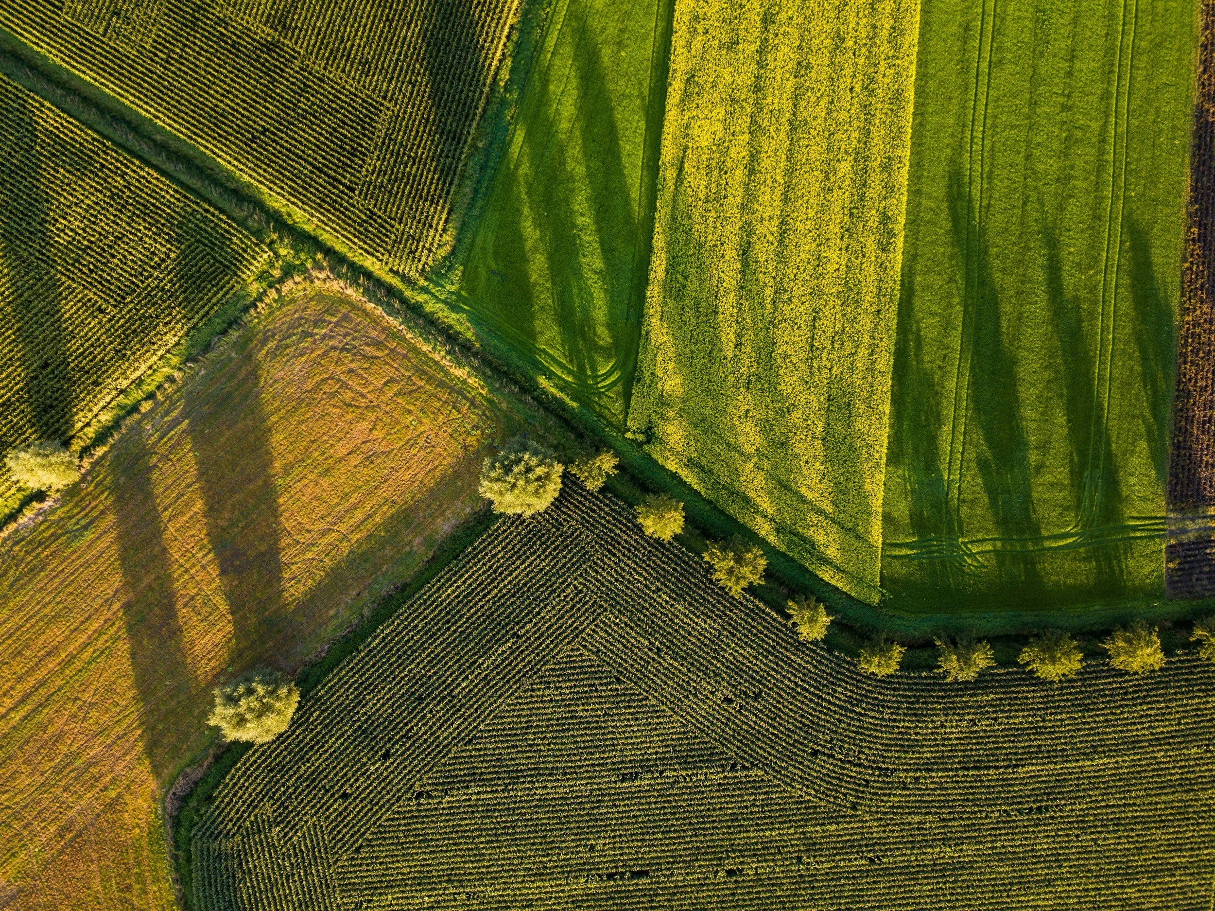
Croplands cover about 40% of Earth’s land surface, and about 80% of the globe’s freshwater resources are used for agriculture.
Who We Work With
-

Established Organizations & Non-Profits
Insurance carriers and reinsurers exploring new markets
Conservation organizations monitoring program implementation
-

Growth Stage Companies
AgTech platforms adding data capabilities and expanding offerings
Specialty insurance companies building new products
-

Analysts & Researchers
Commodity trading firms seeking market intelligence
Co-ops that need local production insights for storage plans
Contact us
Interested in working together? Fill out some info and we will be in touch shortly. We can’t wait to hear from you!