
Climate and Weather Risk Intelligence for Agriculture
Historical and forward-looking hazard risk assessments that quantify where and when droughts, floods, hail, and other hazards occur—and how they affect agricultural production.
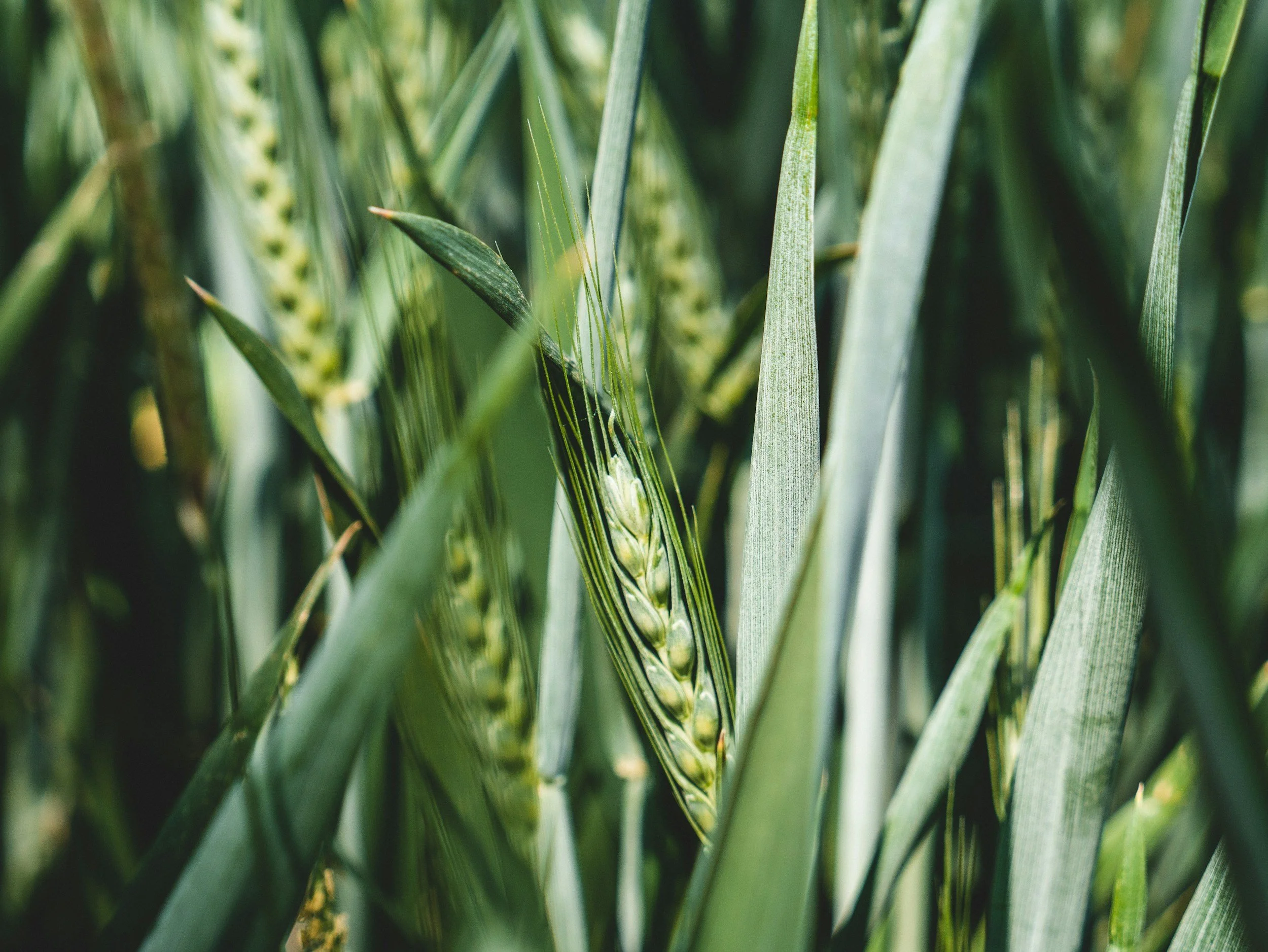
Not all weather events affect crops equally. A week of heavy rain that prevents corn from being planted in May can cause far greater losses than the same amount of rainfall in August. The same is true for drought, excessive heat, hail, frost, and wind damage. Agrograph combines satellite imagery, climate data, and field-level yield history to assess not only the frequency of agricultural hazards, but also their historical impact on production.
Predict Hazard Risk and Yield Impact
Water-Related Hazards
Flood Risk
Assess flood frequency, severity, duration, and timing relative to crop development.
Flooding Frequency
See how often flooding occurs and how it affects yields.
Prevented Planting Risk
Project future risk of inability to plant due to excess moisture based on historical trends.
Drought Risk
Understand historical drought frequency, severity, duration, and yield impacts with predictions that control for irrigation.
Temperature-Related Hazards
Excessive Heat Risk
Assess the likelihood and production impact of extreme heat events during critical growth stages.
Frost Risk
Evaluate historical frost frequency and identify yield losses associated with freeze damage.
Severe Weather Hazards
Hail Risk
Map historical hail exposure and associated yield impacts using storm tracks, ground reports, and satellite observations.
Windstorm Risk
Assess the likelihood of production loss from storm damage by observing historical wind damage frequency and severity.
Environmental Hazards
Eutrophication Risk
Identify watersheds with elevated nutrient runoff risk using land-use patterns, management practices, and historical algal bloom observations.
Understand Agricultural Hazard Risk Before Losses Occur
Agrograph’s field-level hazard intelligence connects weather events to yield outcomes, helping insurers understand both the likelihood and consequences of specific hazards to better manage risk across their portfolios.
Field-Level Detail
See variation that county-level datasets miss.
Proven Agricultural Ground Truth
Models trained on 24 years of production data from 85,000 fields.
Global Coverage
Reliable insights across 800 million hectares worldwide.