
Satellite-Based Crop Identification with Machine Learning
Satellite-based crop identification that reveals what is growing, where it is growing, and how agricultural landscapes change over time.
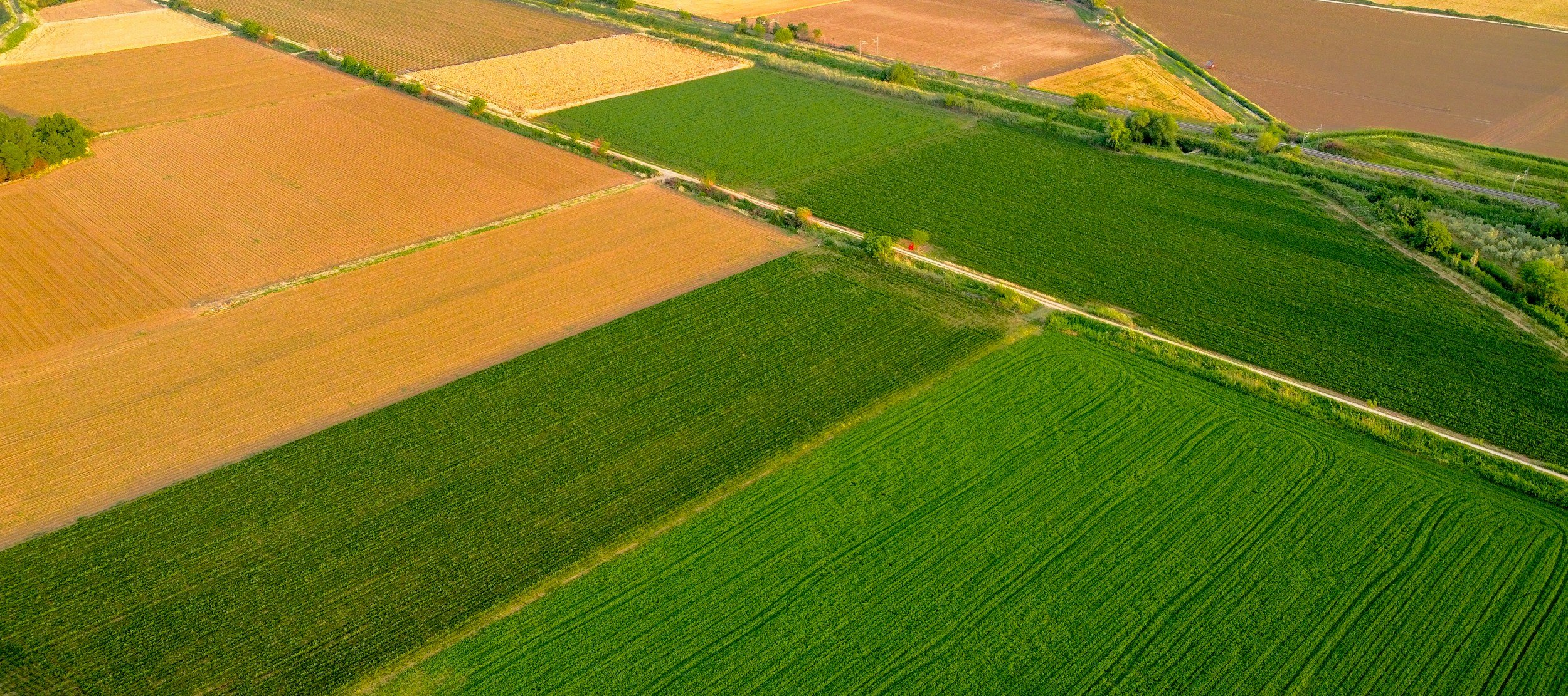
Accurate crop identification is the foundation of any satellite-based agricultural monitoring system. Before you can estimate yields, assess risk, or evaluate revenue potential, you must know what is growing in the field. Agrograph uses satellite imagery and machine learning to perform crop type detection at field-scale across the globe.
Crop Identification Capabilities
Major Row Crop Identification
Agrograph reliably identifies all major row crops including, but not limited to:
● Corn
● Soybean
● Wheat
● Cotton
● Rice
● Sunflower
● Canola
● Sorghum
● & More
Specialty Crop Identification
Through partnerships with commercial satellite providers and access to higher-resolution imagery, Agrograph can support identification of additional crop types in select geographies.
Insights Enabled by Crop Identification
-
Determine when fields were planted and harvested using seasonal vegetation patterns.
-
Identify fields that remained unplanted during the growing season, and verify eligibility for the “1 in 4” requirement for prevented planting claims.
-
Detect irrigation, tillage, crop rotation, and other management practices from satellite observations.
-
Monitor cropland conversion, land use change, and deforestation-related activities.
-
Estimate aboveground biomass to support grazing management, land valuation, and sustainability programs.
How Does Crop Identification Using Remote Sensing Work?
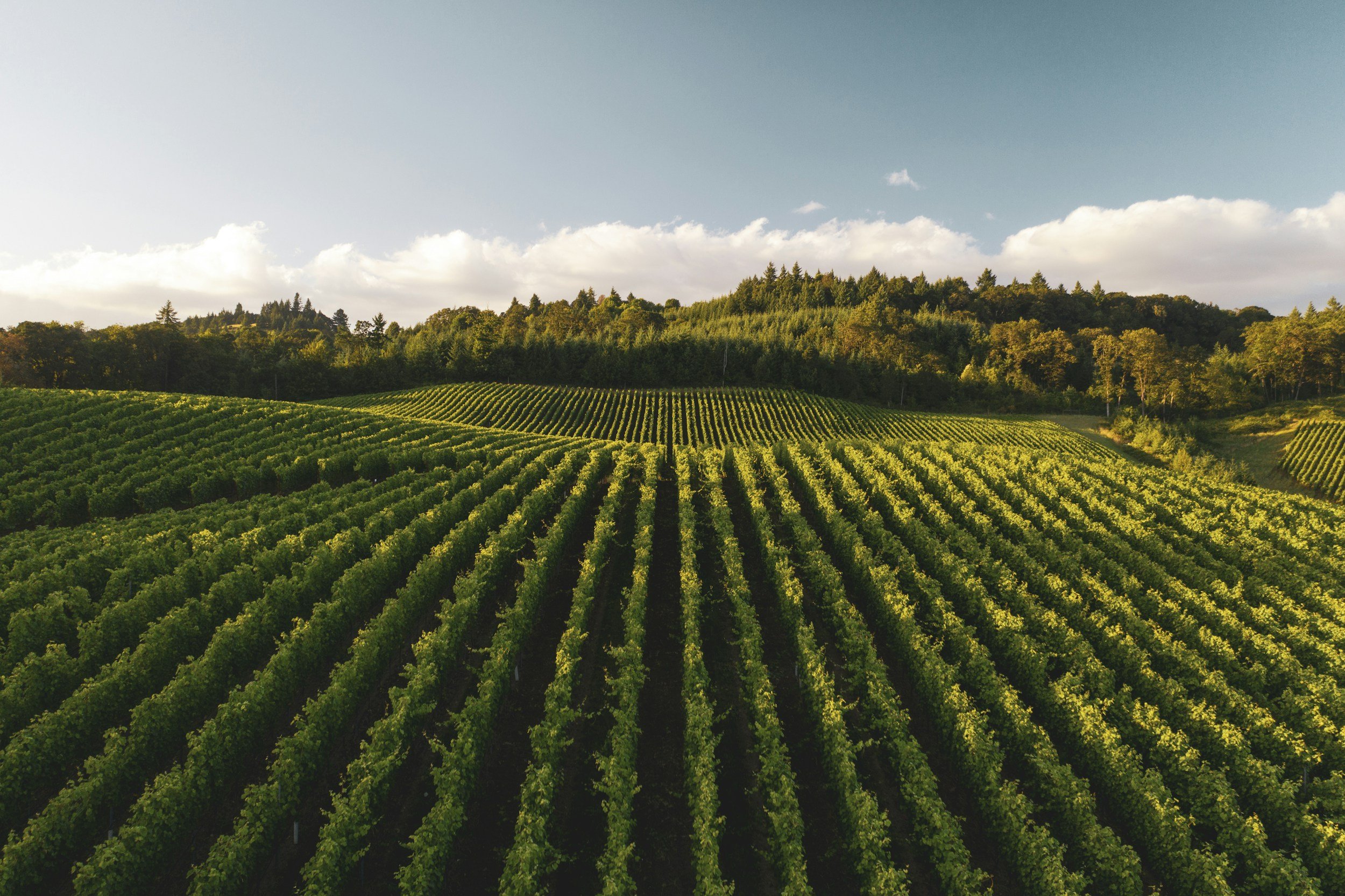
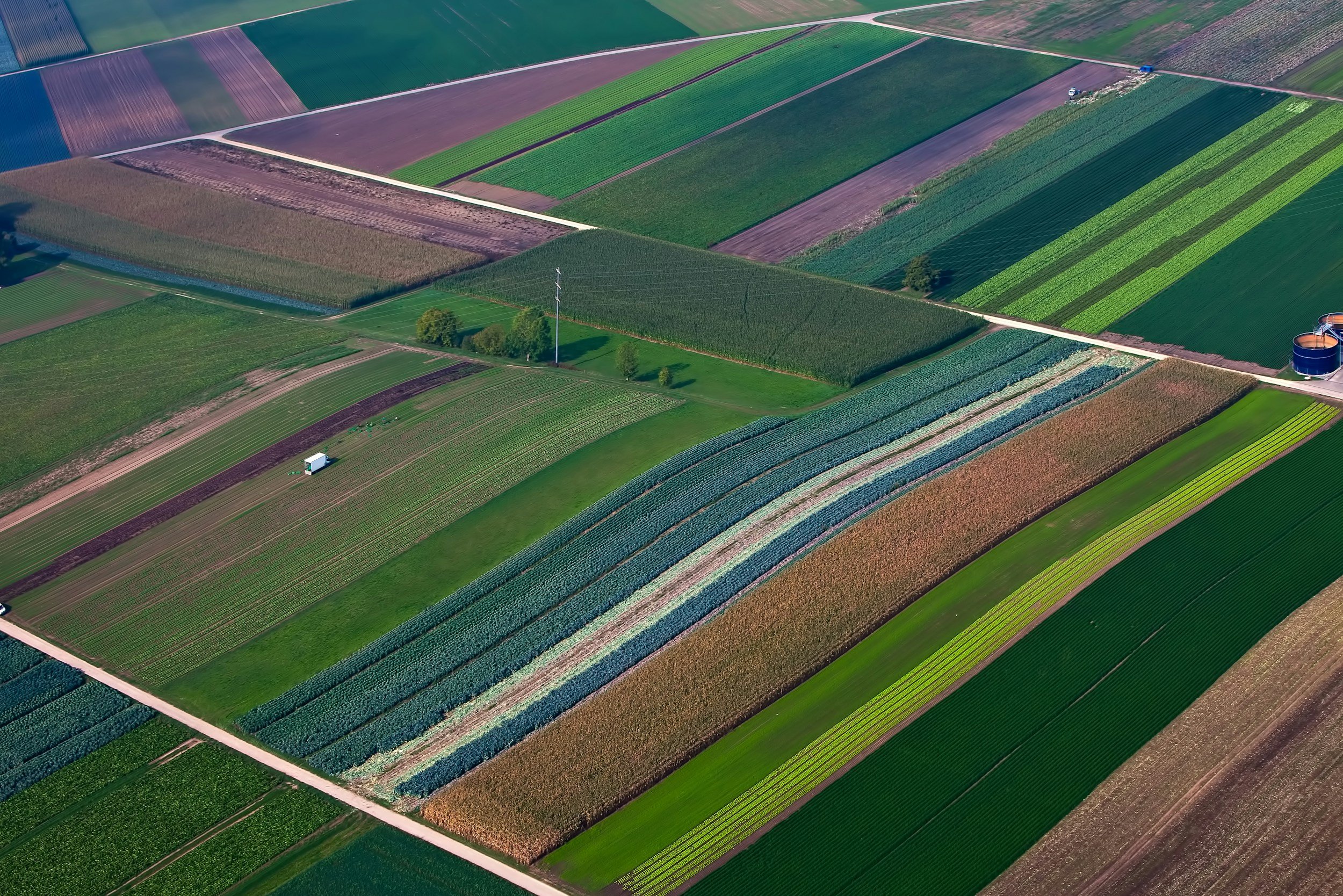
Identifying crops from satellite imagery is possible because different crops have distinguishable spectral signatures at each of their growth stages. By evaluating growth patterns captured throughout the season via satellite imagery, our machine-learning models can distinguish crops that appear visually similar in early growth stages. This approach enables reliable crop mapping across large geographies using publicly available satellite imagery.
Understand What's Growing Anywhere
Identifying crops from satellite imagery is possible because different crops have distinguishable spectral signatures at each of their growth stages. By evaluating growth patterns captured throughout the season via satellite imagery, our machine-learning models can distinguish crops that appear visually similar in early growth stages. This approach enables reliable crop mapping across large geographies using publicly available satellite imagery.
Field-Level Detail
See variation that county-level datasets miss.
Proven Agricultural Ground Truth
Models trained on 24 years of production data from 85,000 fields.
Global Coverage
Reliable insights across 800 million hectares worldwide.
Earlier Intelligence
Historical archives and in-season forecasts available months before traditional reporting sources.