
Field-Level Crop Intelligence for Better
Risk Decisions
Field-level production history, yield forecasts, and risk insights for any row crop in any country—even where local records are limited.
Reliable crop intelligence is difficult to obtain at scale. In many regions, production records are incomplete, government statistics are released months after the growing season, and field-level data is unavailable. Agrograph combines satellite imagery, climate data, and machine learning to help insurers, producers, and traders understand what is growing, how much it will produce, and what risks may affect future performance.
Answer Critical Crop Production Questions
Identify Crops with Confidence
Accurate crop identification is the foundation of every other agricultural insight. Agrograph uses satellite imagery and machine learning to identify major row crops across global agricultural regions.
Supported crops include:
● Corn
● Soybeans
● Wheat
● Cotton
● Rice
● Canola
● Sorghum
● Sunflower
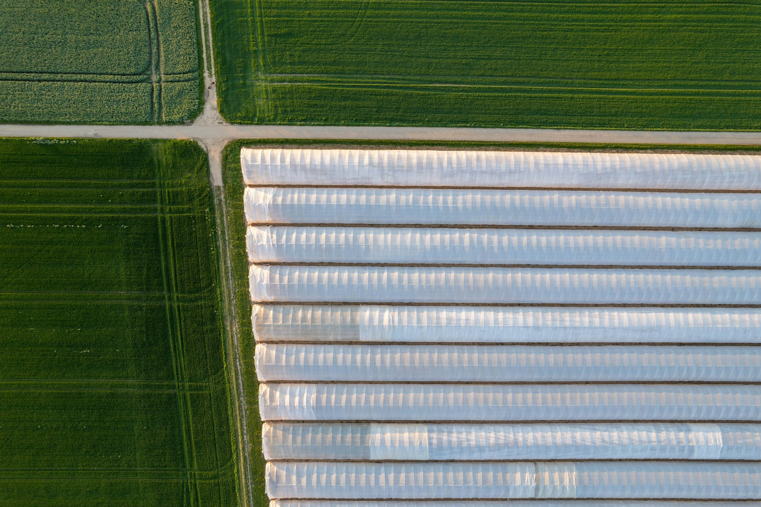
Forecast Production Before Harvest
Crop Yield
Generate in-season yield forecasts and end-of-season yield estimates using satellite imagery, climate data, and historical production trends. Learn more about Crop Yield Prediction.
Gross Revenue Per Acre
Translate yield intelligence into expected revenue using current commodity pricing and field-level production data.
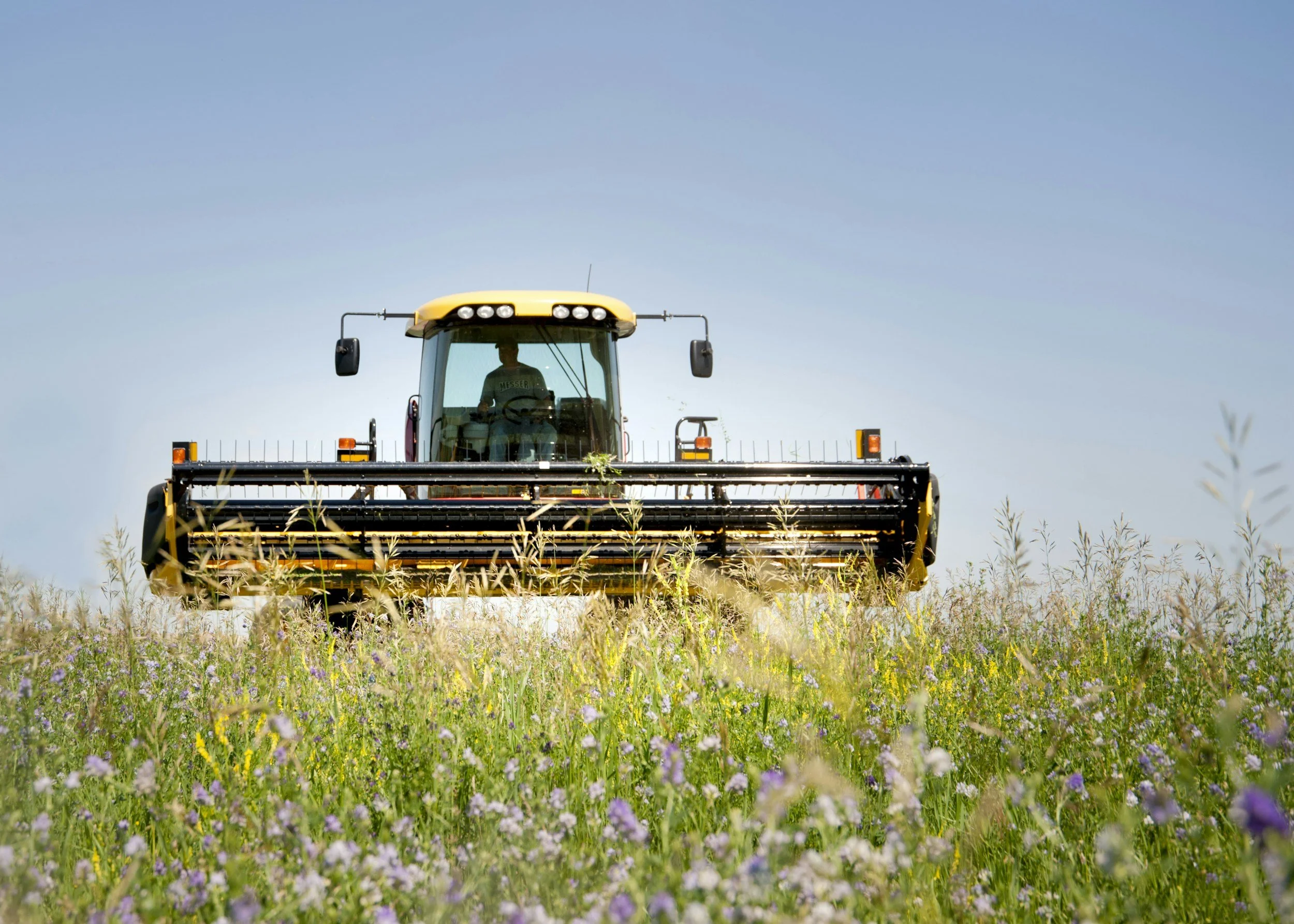
Quantify Risk & Earning Potential
Ag Risk Score
Compare risk across geographies, portfolios, or insurance books using a standardized field-level score. This proprietary metric pulls together many data sources including yield data, physical characteristics, and management practices.
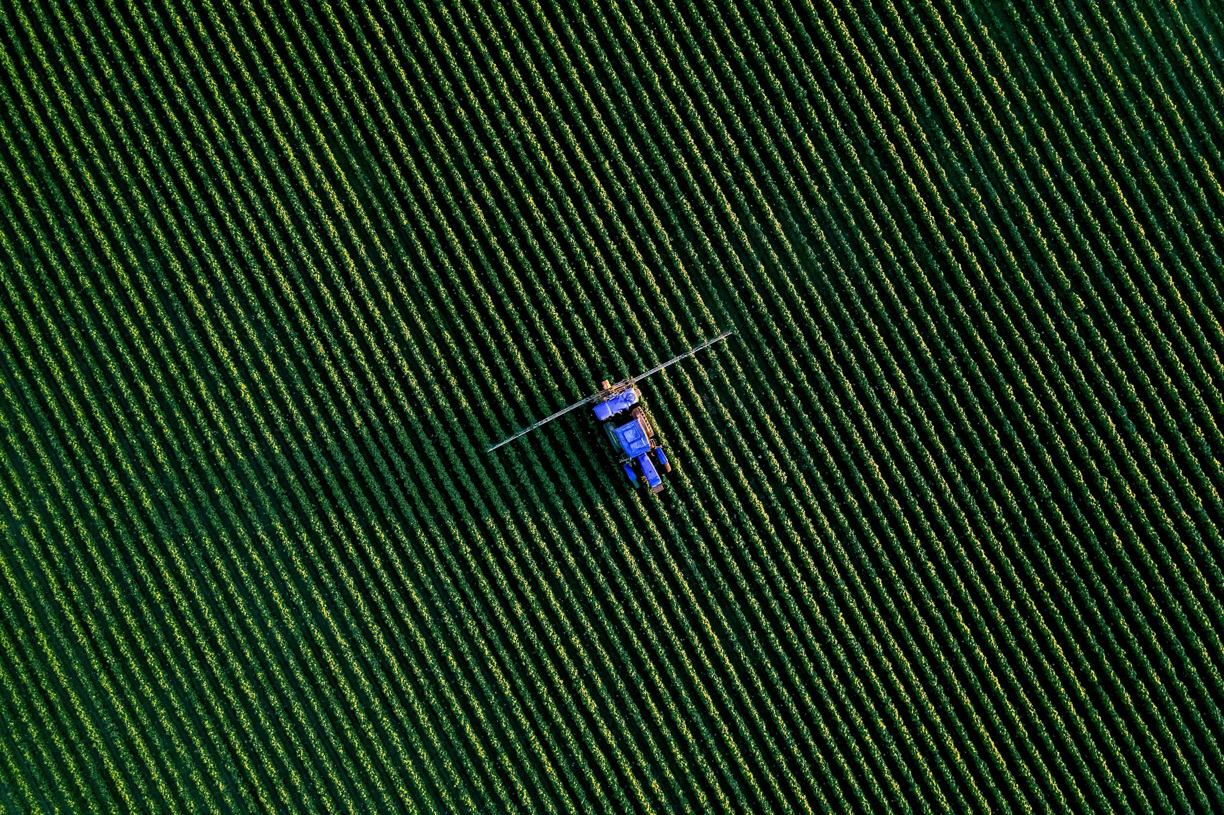
Earning Potential Index
Compare fields across crops, geographies, and portfolios using a standardized measure of productive capacity.